
|
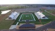
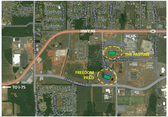
Freedom Field
111 Bear Country Blvd Warner Robins, GA 31088 |
|
|
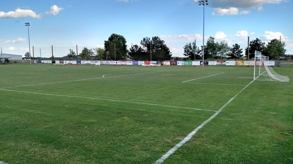
The Pasture
410 Bear Country Blvd Warner Robins, GA 31088 |
|
|
Directions from Interstate 75 |
